


What happens to our present Kabaw Valley dispute?
Dr Th Suresh Singh *
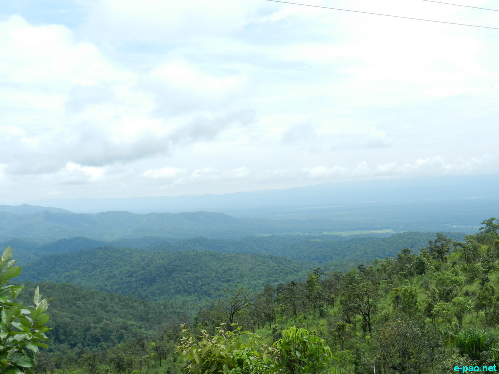
Kabaw Valley as seen from Imphal-Moreh Highway (in August 2014) :: Pix - WT
Last October, in an article in this newspaper about the volatile situation prevailing then about this topic, I had stated that the huge and cry about the present Manipur-Burma border tangle will be followed by a dormant stage. Exactly that is happening now. After so many agitations by various civil societies, an all party delegation was formed, many recommendations were made and central leaders were briefed about it. What we got after that was only assurances and assurances and nothing more. The civil societies and the all party delegation have forgotten this important issue. As an Opinion Maker, I only can remind them and our people through this column for this sensitive issue.
The present hotly contested dispute started after the Burmese Army started constructing pillar inside Manipurs Holenphai Village (3 km south of Moreh Police station). However, this cannot be taken as an isolated one in one or two pillars. The dispute is throughout the Indo-Burma border. Hence I will refer it as present Kabaw Valley (KV) dispute. This will be the appropriate nomencreature. I hope others will follow suit. The dispute is not only in Holenphai Village, but in Border Post (BP) nos. 66, 76, 78, 79, 81, 89, 90, 91, 92, 93, 94 i.e. a total of 11 BP areas. This is according to Union Home Ministry media cell release. Manipur Government constituted a 6 members high power committee with Dr. Suresh Babu, Principal Secretary, Home, as Chairman. Hence my stand that present dispute is in KV is vindicated.
The next logical question will be what is this KV boundary. It all started with the signing of KV agreement on 9th January, 1834 by those incompetent 2 Britishers, namely R. B. Pemberton and F.J.Grant. This is famously known as Pemberton line. Because of its unclear demarcation, this line has percolated many difficulties in Manipurs northern, eastern and southern frontier even today.
Eastern frontier: What is this Pemberton Line? It is an imaginary line drawn northwards from the KV in 1834 and doted in a map. The difficulty is that it was exactly defined by natural landmarks only along the western face of Kabaw Valley. North of this valley, the area at that time was uninhabited and the line running through it was never laid down on the ground. This unclear area has been described in the agreement as "a straight line passing due north from the north extremity of KV up to the first range of hills east of that upon which stand the villages of Cho-eetar, Noorgbree and Noonghur" of the Lahupa (or Tangkhul) tribe of Nagas".
Since then, many disputes continued between the 2 countries. . These troubles forced the then British Government to appoint a 2nd Boundary commission to replace the imaginary Pemberton line of 1834 drawn northwards from KV. PA Cl. Johnstone was appointed as Boundary Commissioner. Johnstone and his party left Imphal on 16th December 1881 and returned on 9th January 1882. The Survey party, after meeting Samjok Chief and other Burmese officials, discovered a natural little steam that could form the boundary line in accordance with the terms laid down in Pemberton definition. The lines are marked on the map.
It is described as "The boundary thus fixed follows the base of the eastern slopes of the Malain range, crosses the river Namia a few hundred Yards south of Kongal Thanna, thence turns east to the Talain River, follows that river upward to its source, and then proceeds down the Napanga River to where it passes through a gorge in the Kusom Range. From thence it runs northward along the crest of that range.
The points where the boundary intersects the Namia River and touches the Talain River have been marked with pillars, and road map has been cut connecting these two points". In this survey, PA Johnstone gave away a large portion of KV which previously belonged to Manipur. This was never compensated. That Johnstone worked against Manipur, though he pretends to be a well-wisher and a lover of Manipur in his book, was highlighted in my book and elsewhere.
In the North frontier In 1835, the forest between Doyang River and Dhunsiri River was boundary between Manipur and Assam. With trouble mounting in this sector as well, the British Govt. was compelled to appoint a Boundary Commission in 1872. Thus the 1st Boundary Commission, which is also often referred to as Golwin and Auten Boundary Commission, was formed. After repeated surveys, the northern frontier boundary eastward of Telizo was settled in March 1874 by finally laying down a line. Manipur accepted this reluctantly as we were supposed to get more, but could not. Cheitherol Kumpaba mentions that stone bearing the Kings name was fixed in the boundary. Dr. Brown, Thangal Major and Thumjao Purel represented Manipur in the said final settlement.
Southern frontier : As per 1834 Treaty, "the southern boundary of Manipur from the east begins at a point where the river called by the Burmese Nansawing, and by the Manipuris Numsaulung, inters the plain, up to its sources and across the hills due west down to the Khothi Khyoung ( Manipur River)". British writers are on record that, "according to this Treaty, part of the Sootie tribe at present lives in Manipur and part in Burmese or independent territory". This implies that part of the Sootie area south of the present Manipur boundary definitely belonged to Manipur. The remaining area are independent or semi-independent of Burma. It is no surprise that the whole Sootie area had been handed over to the Burmese later on. Thus, because of Manipurs inconsistency in boundary negotiations and failure to present and negotiate with facts, we had lost vast tracts to the Burmese in the past; it continues to do so now also.
Manipurs loss of vast tracts of frontier to the Burmese after the signing of the KV agreement was during Chandrakirtis time. During the kings reign, General Thangal was the only one who fought tooth and nail for our motherland. He was the most aggressive and patriotic one; no doubt, PA Jonstone never liked Thangal. Had the king shown more wisdom and stood firmly on his ground, instead of loosing further frontier land, there were chances of recovering the whole KV. Not only this, the king also handed over Kohima, which was conquered by his famous father Maharaj Gambhir Singh in a famous campain lasting 9 weeks (famous Khepumei/Kohima campain starting 28/12/1832) , to the British without getting any equivalent compensation. Hence, future history will not be kind to Chandrakirti was also highlighted elsewhere.
I have given a little bit of these details so that our all party delegate and other interested NGOs have a bit of ideas for this sensitive issue and not to take it lightly. Details will be found in my book "The Endless Kabaw Valley". It is time that we press and force the Central Govt. to examine the frontier thoroughly by appointing a 3rd Manipur-Burma boundary Commission to solve it permanently and not in a piecemeal manner. The historical facts given above are our proof, it has to be shown and discussed thread-bare during the negotiation table. Everybody should avoid the old habit of let bygone be bygone.
* Dr Th Suresh Singh wrote this article for The Sangai Express
The writer is Ex-Director, Health.
This article was posted on April 16, 2015.
* Comments posted by users in this discussion thread and other parts of this site are opinions of the individuals posting them (whose user ID is displayed alongside) and not the views of e-pao.net. We strongly recommend that users exercise responsibility, sensitivity and caution over language while writing your opinions which will be seen and read by other users. Please read a complete Guideline on using comments on this website.


