


On author, research and publication : A critical look
- Part 2 -
Dr Longjam Krishnamangol *
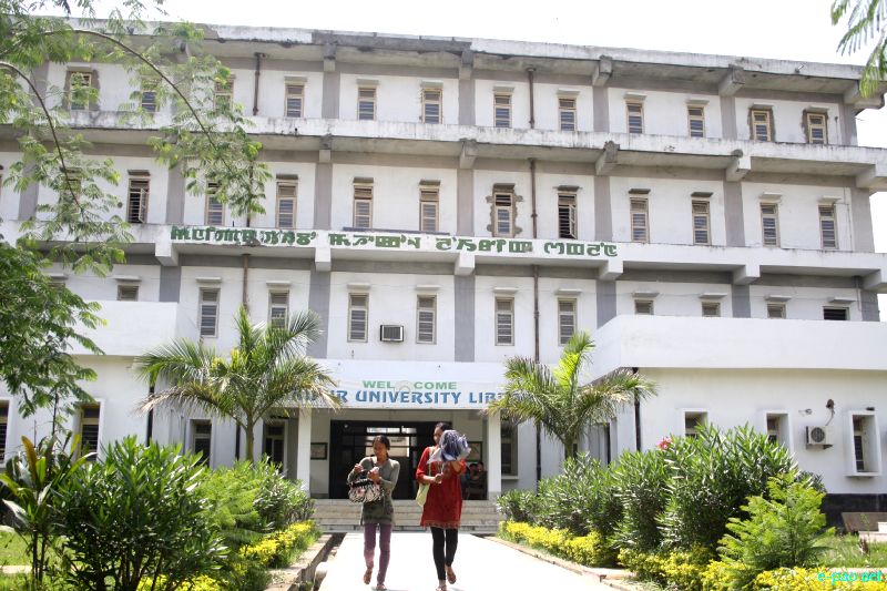
Manipur University Library in April 2012 :: Pix - Phurailatpam Banti
Here, a brief observation can be made in respect of the past controversy of the use of data /information on the total geographical area of Manipur obtained at the time of Merger Agreement of the State (ie Manipur). Here, I do not make an attempt to answer it. Now the question is : Whether State presence is necessary in banning a book ? Then, who will be the arbiter ? In fact, PhD degree is awarded to a research scholar/student as per PhD rules and regulations.
And, usually or generally, full academic freedom is given to the university in the matter of teaching and research. Also, the research scholar is awarded the PhD degree for his original contributions or entire contributions to any branch or area of knowledge or discipline/subject.
In research and in the steps of research, there are areas or stages where things are given for introduction and also for a brief review or for giving a passing reference as a background of research or as a prelude to the research problems. But, his or her main interest is to investigate into the main theme of research problems. In fact, as already stated, a research scholar/student has been awarded PhD degree in the concerned subject after fulfilling all necessary conditions as per PhD rules and regulations of the university concerned.
Regarding the controversial part of the use of data/information on the geographical area of Manipur at the time of "Merger Agreement" (ie prior to 1949), the data or estimates of the total geographical area of Manipur were used by the individual writers. In fact, the data of the total area of Manipur were scanty at that time.
However, according to R Brown, the data or information of the total area of Manipur (ie prior to 1873, the year of publication of R. Brown's book, Statistical Account of the Native State of Manipur and The Hill Territory under its Rule) is between 7 and 8,000 square miles, and that of the valley proper about 650 square miles (Brown, R, 1873:1)
It is further stated that as the country (ie Manipur added) has never been surveyed and mapped, the total area stated above is merely approximate and represents the size of the territory (ie Manipur added) as nearly as possible.(Ibid. P.I.). And , there were many undefined areas also at that time.
It is, however, found that. "The largest tract of country under the Manipur rule is that situated in the hills and inhabited by various tribes, divided, however, into two great sections of Nagas and Kukis " (R Brown, 1873:2) In the account of the State of Manipur, Brown further pointed out, "By far the largest tract of country owned by Manipur is that situated in the hills surrounding the valley. The total area of the hill possessions of Manipur (ie the total area of Manipur under the hills-bracket added) is probably about 7,000 square miles, and the population is roughly computed at 74,000 (hillmen) (Ibid.1873:1 and 8).
As Brown had pointed out, "The population of the valley of Manipur and that of the surrounding hills are estimated to be about 74,000 hillmen and 65,000 Manipuris, total ('of' bracket added) 139,000 souls (inhabitants-bracket added)-(Ibid.,P.I.). This was the situation obtained in1873 (the year of publication of the book) Thus, from the estimates of the account of Brown R, with 7,000 square miles of the hills and 650 square miles of the valley, the total area of Manipur accounted for 7,650 sq. miles. (Cf. Brown R, 1873: 1 and 8).
And, with some undefined areas, the total area of the State of Manipur was estimated at 8000 sq. miles prior to 1873 (Ibid., P.I.) Brown, R had also pointed out,. "This area (i.e. the above area of 7,000 sq. miles-bracket added) has gradually extended since the re-establishment of the Manipur power (i.e. the power of the king of Manipur)
In another estimates, according TC Hodson, the native State of Manipur consists of about 7000 square miles of hill territory and 1000 sq miles of the broad valley (Cf. TC Hodson, The Meitheis) (ie Meitei bracket added)-(First published under the Govt. of Eastern Bengal and Assam, 1908, and printed and published by Akansha Publishing House, New Delhi, 2018 : 1). And, TC Hodson further described the boundaries of the State of Manipur (CFTC Hodson), The Meiteis, 1908 reprinted.
It is further observed that the territory of Manipur that comprised within the boundaries of the state occupies an area of 7000 square mile of which a valley of 650 miles constitutes the central portion (i.e.the central valley) and the remainder is formed by an encirceling zone of hilly and mountainous country inhabited by various tribes, who have been brought under subjection to the paramount authority of Manipur ("Muneepoor" by R.B. Pemberton), C.f. R.B. Pemberton The Eastern Frontier of India, (First Publisher in 1835 and Photographically reproduced and published by Mital Publications in 2018 : 21)
In fact, the higher figures of the total area of Manipur were estimated at 8000 sq. miles. As already pointed out, "The total area of the territory (i.e. the Native State of Manipur - bracket added) is between 7 and 8000 sq. miles (i.e. between 7000 and 8000 sq. miles-bracket added) , and that of the valley proper about 650 sq. miles (Brown. R, statistical Account of the Native State of Manipur and the Hill Territory under its Rule (1873 and reprint edition, 2018 : 1)
It has also been pointed out: "As the country (i.e. Manipur added) has never been surveyed and mapped, the area stated above is merely approximate, and represents the size of the territory (i.e. Manipur added) as nearby as possible (Ibid. p.l.). In fact, it is found that there were different estimates on the area or size of Manipur as there were many disputed areas. It may, however, be pointed out that the Native State of Manipur was then brought in under the sovereignty of one kind (Cf, (Late) Ibungohal, 1960 : 10)
Again, in his book Gazetter of Manipur E.W. Dun also described the boundaries of Manipur (E. W. Dun, 1886 : 1 & 2) Thus, the boundaries of Manipur were fixed during the British period in Manipur And, according to E.W. Dun, the boundaries of Manipur were demarcated in 1882. (Cf. E.W. Dun, 1886 :1 & 2) reprinted by Akansa, 2018 : 1& 2.
Again a quick look into his book has also revealed that he did not give the total estimated area of Manipur. But he clearly described the boundaries of Manipur. And he clearly stated that this boundary with Burma was laid down in 1882 (Cf, E.W. Dun 1886:2)
In this book, The Naga Tribes of Manipur, T.C. Hodson further pointed out that the state of Manipur contains about 8000 sq. miles of which 7000 per miles are hilly territory as opposed to the valley territory (i.e. the valley area)- (T.C. Hodson, The Naga Tribes of Manipur, 1911 and reprinted by D.K. Publishers, 2007 : 1)
Thus, any research scholar or any writer/author on the history of Manipur will face a lot of challenges in his or her tasks of research or writing a book on history of Manipur. It can further be pointed out that the historical aspects of development cannot be easily neglected in our search for socio-Economic development of Manipur
To avoid any controversy on the area of Manipur, after the merger agreement, it can be pointed out that the 1961 census of Manipur used 8000 sq. miles as the total area of Manipur. Today, the total geographical area of Manipur is measured in terms of square kilometer, which is already known. At present, it is found that Manipur has a total geographical area of 22,327 sq. kms. which constitute 0.7 percent of the total surface of India. (DES, Economic survey, Manipur, 2020-21, P.I.)
It can further be pointed out that 90 percent of the total geographical area of the state (i.e. 20,089 sq. Kms) are hills and the remaining small valley covers 2,238 sq. kms., which is only one-tenth of the total area of the state. (Cf. DES Economic Survey Manipur, 2020-21 P.I.) Here, it can be pointed out that, in recent years, the total area of Manipur was 22,356 sq. kms., which is now recorded at 22,327 sq. kms. Thus, in research or publication of book, the selection/collection and use of data is usually done after proper scrutiny of the data.
To be continued....
* Dr Longjam Krishnamangol wrote this article for The Sangai Express
The writer is an economist and researcher
This article was webcasted on November 01 2022.
* Comments posted by users in this discussion thread and other parts of this site are opinions of the individuals posting them (whose user ID is displayed alongside) and not the views of e-pao.net. We strongly recommend that users exercise responsibility, sensitivity and caution over language while writing your opinions which will be seen and read by other users. Please read a complete Guideline on using comments on this website.


