


Present state of Forest in Manipur
Sanjenbam Jugeshwor Singh *
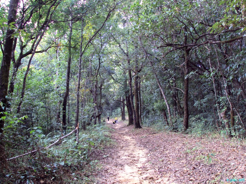
Thick vegetation in Tamei, Tamenglong in November 2012 :: Pix Credit - MMTA
The hilly State of Manipur is situated in the north-eastern part of the country on an area of 22,327 sq. km. It shares international border with Myanmar and lies between latitude 23 degree 50 minute and 25 degree 42 minute North and longitude 92 degree 50 minute and 94 degree 46 minute East. Geographically the state comprises the flat plateau of alluvial valley and hill territory.
The state is drained by Imphal and Barak rivers. The annual temperature in the state ranges 14.5 degree Celsius to 38 degree Celsius and the average rainfall ranges from 1,250 mm to 2,700 mm. The months from November to February remain dry and the remaining eight months are more or less rainy.
About three-fourth of the state's geographical area is under recorded forest. The state has 8 different forest type as per Champion & Seth's classification system(1968) belonging to 5 types of groups viz Tropical semi evergreen, Tropical moist deciduous, sub-tropical Broadleaved Hill, sub-tropical pine and Montana wet Temperate Forests.
Tree covers of the state has been estimated using sample data of TOF inventory collected over a period of six years i.e. 2002-2008. Estimated tree cover in the state is 197 sq.km which is 0.88% of the total geographical area of the state. The recorded forest area of the state is 17,418 sq.km. Reserved forests constitute 8.42%, protected forest 23.95% and unclassed forest 67.63% of the total forest area.
The forest cover in the state based on interpretation of satellite data of December 2006-January 2007 is 17,280 sq.km which is 77.40% of the State's geographical area. In terms of forest canopy densely classes, the state has 701 sq.km very dense forest, 5,474 sq.km moderately dense and 11,105 sq.km open forest.
But as per the Biennial report of Indian State of Forest, published on 30th December 2019, the area of Forest in Manipur as compared with the assessment in February 2004 to February 2005 has been reduced by 899sq.km. According to the report out of total geographical area of Manipur, 16,847sq.km only is the forest area.
Out of this the dense forest area is 905 sq.km, medium dense forest area is 6,386 sq.km and 9,556 sq.km is the open forest area. This is 75.46 % of the total area and reduced by 499 sq.km. The forest area in 2017 was 17,346 sq.km. It is claimed that 78.01% is the forest but forest cover area is reported decreasing at a rapid pace.
The report further says the total forest area of India is 7, 12,249 sq.km which is only 21.67 % of the total geographical area of India, out of which totally forest covered area is 95,027 sq.km and only 2.89%. But it is said that the forest area and completely covered by forest area is 8, 07,276 sq.km, which is 24.56%. If we compare present status with the past, 3976 sq.km area appeared to have been increased.
The five state in which the increased in forest area are Karnataka, Andhra Pradesh, Kerala, Jammu & Kashmir and Himachal Pradesh. In North-East states the total forest area is 1, 7058 sq.km which is 65.05% of the total geographical area of N-E states. However, at present 765 sq.km of forest has been reduced as per report excluding Assam and Tripura.
The total bamboo covered area of N-E states is 1, 60,037 sq.km and is increased by 3,229 sq.km as compared with the past. However the growth of bamboo in Manipur has been drastically decreased. For Manipur, the bamboo covered area is 1,126 sq.km. In 2017, it was 2,340 sq.km (recorded).
Comparing with the past the bamboo growth area has been reduced by 1,214 sq.km. The carbon stock of state is 1, 78,723 tons. In Manipur, people around the forest used 3,900 tons of dry wooden fuel, 2,62,000 tons of hey, 8,61,800 tons of herbs & shrubs and 292 tons of bamboos.
Forest are among the most repositories of terrestrial biological diversity. Together tropical temperate and boreal forests offer very diverse habitat for plants, animals and microorganisms. Blessed with an amazing variety of flora and fauna 67% of the geographical area of Manipur is hill tract covered forests. Depending on the altitude of hill ranges, the climatic condition varies from tropical to sub-alpine.
The wet forest and the pine forests occur between 900-2700m above MSL and they together sustain a host of rare and endemic plants and animals life. Coveted the world over as some of the most beautiful and precious blooms orchids have an aura of exotic mysterious about them.
In Manipur orchids are abound in their natural habitat growing in soil or on trees and shrubs, speaking their beauty and colour, stunning the eye that is not used to seeing them in such profusion. There are 500 varieties of orchids which grow in Manipur of which 472 have been identified. Biological diversity is the basis for a wide array of goods and services provided by the forests.
The variety of the forest trees and the shrubs play a vital role in the daily life of rural communities in many areas, as sources of wood and non-wood products as contributors to soil and water conservation and as repositories of aesthetic, ethical, cultural and religious values.
Forest animals are a vital source of nutrition and income to many people and have vital roles in forest ecology such as pollination, seed predation, dispersal and germination and predation on potential pest species. Forest biological diversity is one of the seven thematic elements of the concept of sustainable Forest management approved by the General assembly of the UN in 2007, together with non-legally binding instrument on all types of forests. Loosing forest diversity means, missing opportunities for medicines, food, raw materials and employment opportunities, in one word: welfare.
Foresters say the jungles of North-eastern states hold critical importance for the rest of India, not only because of the presence of rich biodiversity but because of the fact that the cluster of eight small states contribute about one-fourth to India's forest density.
A gradual decline in Northeast's forest cover will adversely impact India's target of having 33% of its geographical area covered by forests from the current 24.39%. Development activities, logging and shifting cultivation are widely recognized as major causes of deforestation in the Northeast. Large scale poppy plantation in the state of Manipur also contribute rapid deforestation in the state.
Forest fires are also common and frequent, especially at the end of the winter season, affecting about 20% of the total forest area, according to a WWF report titled "Biodiversity Significance of North-east India". The wild fire that broke out at the Dzuko range in the afternoon of 29th December 2020 has completely charred the vegetation on Mount Iso( Tenipu), the highest peak of Manipur. While no dead animals had been reported but trees and other small plants species were completely burned.
The report also mention encroachment, livestock grazing and smuggling of forest produce as also responsible for the declining health of the forest. Thus, this is we the citizen to think to conserve & protect the forests. Though we plant 10 lakh tree samplings under the initiative of Government, 50 thousands sapling in 1 hour, unless we all act to protect and care the sapling to survive, it will be of no use.
* Sanjenbam Jugeshwor Singh wrote this article for e-pao.net
The writer is a Sr.Faculty, JCRE Global College, Babupara, Imphal and can be reached at sjugeshwor7(AT)gmail(DOT)com
This article was webcasted on March 12 2021.
* Comments posted by users in this discussion thread and other parts of this site are opinions of the individuals posting them (whose user ID is displayed alongside) and not the views of e-pao.net. We strongly recommend that users exercise responsibility, sensitivity and caution over language while writing your opinions which will be seen and read by other users. Please read a complete Guideline on using comments on this website.


