
TODAY -


Joykumar publishes 'Report on Land Use Survey of Manipur'
Source: The Sangai Express / DIPR
Imphal, December 27 2017:
A "Report on Land Use Survey of Manipur" under Manipur Strategic Statistical Survey Programme (MASSSP) Using Remote Sensing and GIS, was published by Deputy Chief Minister Yumnam Joykumar Singh at a function held at Conference Hall of his official chamber at Manipur Secretariat (North Block) today.
The project which is implemented by the Directorate of Economics and Statistics and executed by Manipur Remote Sensing Applications Centre (MARSAC), is aimed at generating geo-database of Nine-fold Land Use classes as per the recommendation of the Ministry of Agriculture, India, covering the entire State of Manipur.
|
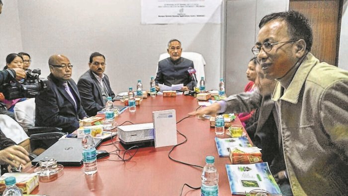
Speaking at the function, Joykumar said that the project will be immensely helpful in various ways, more so in planning and executing developmental works in the State.
He said that it has to be a continuous process through which various agencies can utilize the available data and through which initiatives like controlling deforestations and reversing the same, wetland management to control flood and agricultural and horticultural processes, can be taken up.
The Deputy CM further said that it will also enable the authority to know what exactly the land use pattern in the State is thus enabling proper control of the natural resources.
Pointing out the need to provide data to prospective agencies, the Dy CM asked the Departments concerned to provide the available data even to the researchers so that a co-lateral effort can be made possible in this direction.
The Government will discuss and try to find out ways which are more comprehensive and can easily be implemented in future, he added.
Principle Secretary (Economics and Statistics) Vivek Kumar Dewangan said that this is an important step through which various Departments can contribute in executing developmental works.
Agriculture, Horticulture, Forest and Environment, Revenue etc are some of the Departments which are going to be the major users of this project.
Any dispute in the mapping process can also be settled scientifically through this project, he added.
He also asked the implementing agencies to make the data available in the public domain.
The survey report generates geo-database of Nine-fold Land Use classes as Forest, Area under Non-agricultural Uses, Permanent Pastures and other Grazing Lands, Land under Miscellaneous Tree Crops, Barren and Un-culturable Land, Fallow Lands other than Current Fallows, Current Fallows, Culturable Waste Land and Net area sown.
Principal Secretary (Agriculture) Dr Suhel Akhtar, Principal Chief Conservator of Forest, Kereihoubi Angami, Director (MARSAC) Dr N Randhir Singh, Director (Sciecne and Technology) H Ibocha Singh and Director (Economics and Statistics) Peijonna Kamei were also present, among others, at the function.
 Comment
* Comments posted by users in this discussion thread and other parts of this site are opinions of the individuals posting them (whose user ID is displayed alongside) and not the views of e-pao.net. We strongly recommend that users exercise responsibility, sensitivity and caution over language while writing your opinions which will be seen and read by other users. Please read a complete Guideline on using comments on this website.


HEADLINES - 28, DEC 2017
SPORTS - 28, DEC 2017
LATEST IN E-PAO.NET
Jump Start
DBS Imphal SubSite |
Readers Mail |
Editorials |
Education Announcements |
Essay |
Exclusive Event |
Flash - Audio Visual |
Incidents |
LFS Imphal SubSite |
News Timeline |
Poetry |
Opinion |
Sports |
Rock Concert |
RSS |
Top Stories |
Wathi Jugai